|
|
 Geodaten International
-
Version
6.01
Geodaten International
-
Version
6.01
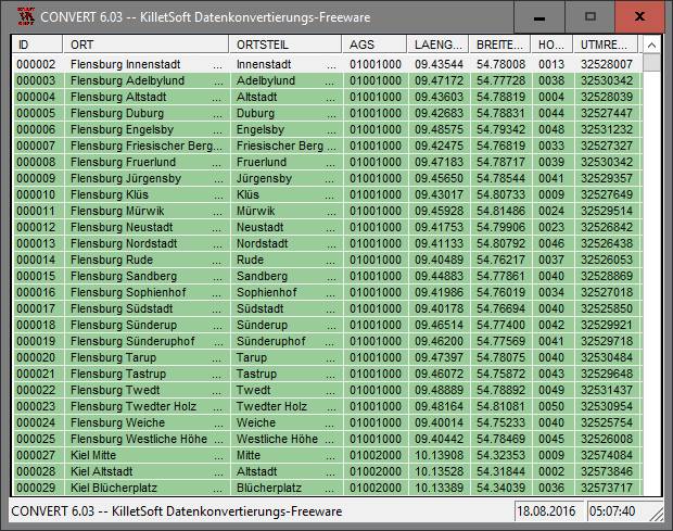
Geodata International - World-wide database of
countries with georeferenced towns, municipalities,
postal codes and administrative units with WGS84 and
UTM coordinates and elevations for geocoding,
proximity search, navigation, distance calculation.
Often is it necessarily, for an address
characteristic, e.g. the place name or the postal
code, to establish a local relationship - a
georeference. The georeference can be used e.g. to
show a customer the nearest chain store by doing a
proximity search. On the basis of the georeferences
business zones, statistics or general maps can be
made. Towns, municipalities and postal codes can be
assigned to the superordinated administrative units.
Distances between places or postal areas can be
determined with the coordinates contained in the
database tables. For that the georeferences are
available in all country database tables as UTM
coordinates on the natural and an uniformly meridian
strip and as geographical coordinates in degree and
deg/min/sec notation. With the elevation data from a
|