|

|
 ORTWIN Deutsch
-
Version
10.00
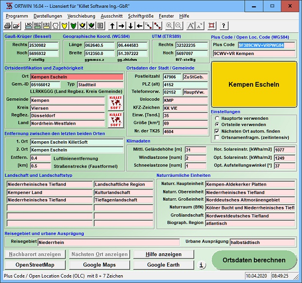
ORTWIN is a program for the state-wide inquiry of the
localities, postal codes and telephone selections in
Germany. It finds postal zip codes, telephone pre
selections, coordinates and ground level elevations.
The program determines municipal codes, local center
points, car license codes, topographic maps, Unlocodes
and much more. It arranges localities hierarchically
into the structures federal state, administrative
district, rural district, town, municipality, local
quarter and domicile. The program performs perimeter
searches and distance calculations. It finds
landscapes on different levels, natural units and snow-
and wind load zones of all localities. In a radius
around a place or around a postal code area covered
localities and postal areas can be clearly represented
by a comfortable perimeter search. They can also be
arranged in a list, stored as a file and printed. For
the local inquiries and perimeter searches a data base
with more than 120.000 geo coded localities is
available. The program represents local data,
determined by local inquiries and perimeter searches,
|