|

|
 TRANSDAT Deutsch
-
Version
17.75
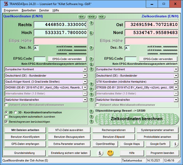
TRANSDAT geosoftware executes coordinate
transformations and geodetic datum shifts between many
coordinate and reference systems of America,
Australasia, Europe, Germany special and world-wide,
with high precision and high speed: 1.The current and
historical coordinate and reference systems of all
countries of the European Union (EU) including the
eastern extensions and the systems of non-EU
countries. 2. The INSPIRE supported European ETRS89
systems. 3. The US and Canadian State Plane Coordinate
Systems (SPCS) on NAD27 and NAD83 and other coordinate
systems of the North American continent. 4. The
coordinate and reference systems of the Australasian
continent. 5. Many coordinate and reference systems of
the countries of other continents. 6. World-wide NTv2
grid file supported coordinate transformations. 7. All
global coordinate and reference systems. 8. The German
coordinate and reference systems of the old and new
federal states, the 40 Prussian Soldner Land
Registers, the German Lagestatus, and exact reference
systems of the German federal states. You will find a
|